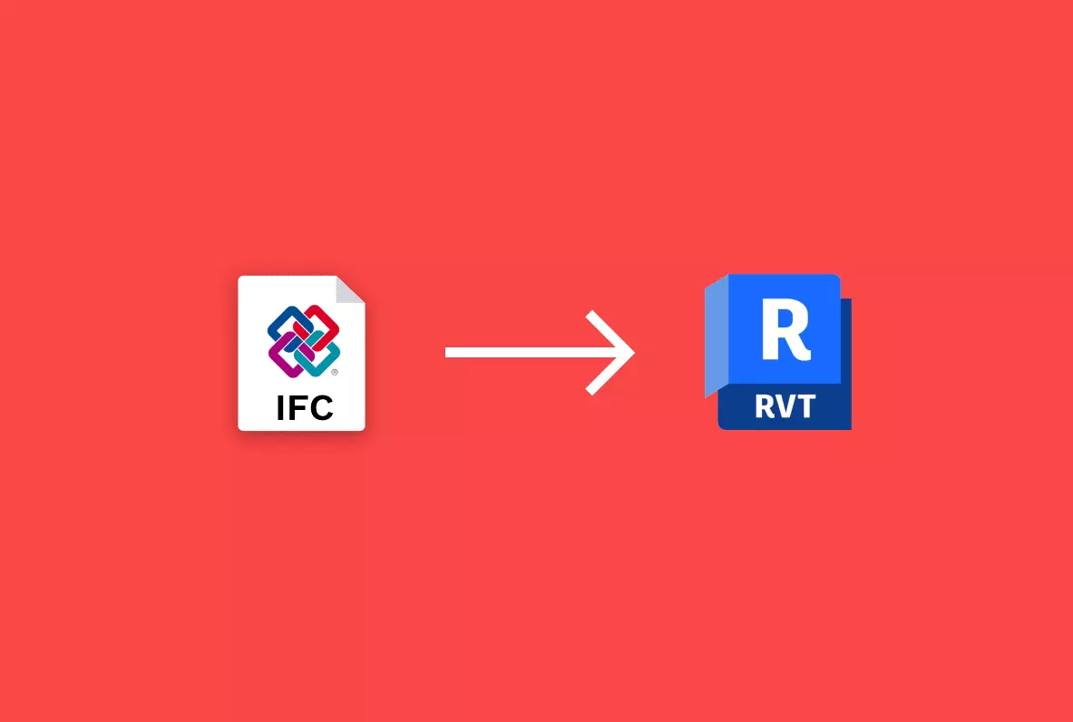
Linking IFCs to the base point in Revit ensures accurate placement, enabling effective collaboration and interoperability between different BIM software applications and disciplines. Here is the correct method of doing that.
-
-
Autodesk Revit, has released the much-expected 2024 version with advanced features and improvements. This version contains the new dark-mode interface, performance improvement, and many interesting new features.
-
The iSync plugin for Autodesk Revit natively allows gathering and storing synchronization analytics of every sync task. Why is Revit synchronization data being collected with this service, and how could you benefit from using it with your Revit projects?
-
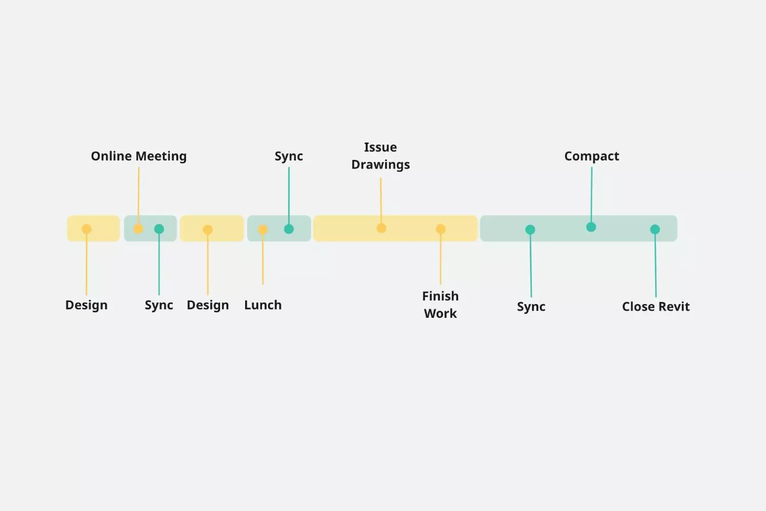
How can collaboration automation in Revit help improve efficiency? Let's look at daily pipelines and how iSync can make your and your team's jobs more efficient.
-
The import 3D plugin for Autodesk Revit introduces the support of one of the most compatible used formats across software platforms: Collada DAE. Why is COLLADA a relevant format, and why could you benefit from using it with your Revit projects?
-
Import 3D natively supports one of the most used 3D file formats: Wavefront OBJ. What are the reasons behind its success, and why should you most certainly end up using it in one of your Revit projects?
-
Interoperability is the glue that holds the AEC systems together. Learn how sharing 3D data into Revit is evolving, the challenges, and the future.
-
In order to keep Revit speedy, one needs to compact the file storage during the night automatically. In this article, we will analyze the reasons to compress the document and the automation technique to achieve that without any effort using iSync.
-
In most cad software, it is possible to do autosave, but the same is not included by default in Revit unless we use an application to help do that. This article will go through the steps to enable autosave in Revit using the iSync plugin.
-
Working with large Revit models is usually quite painful. Many operations take a long time to complete; one may need a powerful processor and large enough memory. But the question is, why is Revit so slow? Let's look at what Autodesk says and what they do not tell about it.
-
There are a few methods to create toposurfaces in Revit. There has been a long debate on the best approach regarding accuracy and convenience. In this article, we shall compare two processes: using contour lines from a CAD file and using Lidar point clouds.
-
Lidar technology will continue to impact the AEC industry in the years to come by providing affordable and quick surveys. Architects, engineers, and landscape architects will embrace new tools and techniques for error-free projects with more precise and up-to-date digital elevation models.

